Introduction
Geolocation technology has revolutionized the way we navigate and connect with the world around us. From our smartphones to our vehicles, we rely on this technology to pinpoint our exact location on Earth's surface. But have you ever wondered how this precise positioning is achieved?
It all comes down to the principles of latitude and longitude.
In this article, we will explore the significance of latitude and longitude in navigation and geolocation technology. We'll delve into the role these coordinates play in guiding modern-day travelers and technology, ensuring safe and efficient navigation. We'll also discuss how latitude and longitude extend beyond navigation, impacting various aspects of our daily lives, from the adoption of life-saving medical devices to the integration of IoT.
But latitude and longitude are not just about finding our way in the world; they also have a profound impact on climate and weather patterns. We'll uncover the intricate relationship between these coordinates and our daily weather, as well as their contribution to our understanding of climate variability.
Join us as we unravel the hidden threads of latitude and longitude, revealing their significance in our interconnected world and the fascinating ways they shape our daily lives.
Understanding Latitude and Longitude
Geolocation has become an integral part of our daily lives, enabling us to pinpoint our exact location on Earth's surface with remarkable precision. It's fascinating how we have progressed from celestial guidance to relying on the Global Positioning System (GPS) embedded in our smartphones, watches, and vehicles. Conventional methods of wayfinding, though frequently outshone by contemporary advancements, present a diverse array of abilities and cultural expertise. For example, the sailors of the Marshall Islands navigate vast oceans using wave patterns, while the Gwich'in Elder in northern Alaska turns to the stars, interpreting them as parts of the mythical Yahdii to guide him across the Yukon Flats.
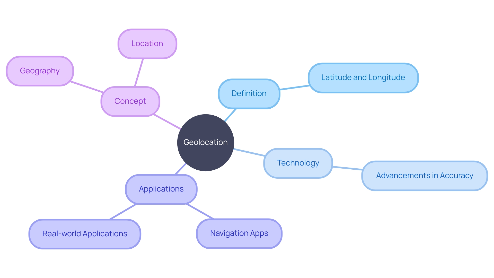
The concept of geolocation is rooted in geography, the study of Earth's surface, and location—the specific position of something in space. This synergy enables us to use technology for a multitude of applications, from obtaining directions via GPS apps to tracking devices and even ensuring compliance with local laws when using satellite communication devices.
For instance, consider the journey from Seattle, WA, heading due east; this thought experiment underscores the importance of understanding our geographic orientation. Geodesy, the science of measuring Earth's size, shape, and gravitational field, underpins the accuracy of GPS. As highlighted by expert Blackwell, this precise positioning is what allows us to traverse the globe safely, navigating around roads, buildings, and other obstacles within a common geodetic framework.
While we may not always be conscious of it, geolocation and the principles of latitude and position on the east-west axis are central to our modern existence. They are the unseen strands woven into the fabric of our daily exploration, discovery, and connection to the world around us.
The Role of Latitude and Longitude in Navigation
Latitude and longitude are more than just lines on a map; they are the lifeblood of wayfinding, ensuring that anyone, anywhere, can pinpoint their exact position on Earth with astonishing precision. As essential tools for mariners and explorers historically, these coordinates now guide modern-day travelers and technology with the same reliability.
Take India's bustling cities and sprawling rural landscapes as an example. The country's rapid expansion and unique addressing challenges have made traditional postal systems laborious. Despite India Post's extensive pincode coverage, the e-commerce boom around 2007 has demanded an even more sophisticated approach to navigation and delivery. The leap forward in digital mapping has not only improved accessibility but also brought about a cultural shift in how we perceive and interact with our surroundings.
Municipalities like Edmonton and Waltham Forest have embraced this digital evolution, creating curated maps that not only guide locals and tourists but also reflect the city's personality and seasonal changes. These are not just maps; they're digital storytellers, enhancing the experience of the cityscape through the eyes of those who know it best.
The digital age continues to redefine boundaries, with IoT forging connections that make our world smarter and more navigable. Beecham Research emphasizes the swift integration of IoT in our lives, from smart homes to web-enabled devices, mapping a path towards a future that's interconnected in ways we're only starting to understand.
Geolocation technology is the cornerstone of this new era. It's a fusion of geography and innovation, pinpointing locations to facilitate applications that have become integral to our daily routines. Navigation apps, for instance, have replaced paper maps, offering real-time directions and travel suggestions based on individual preferences.
Experts like Blackwell from the geodesy field illuminate how GPS, a ubiquitous aspect of our lives, relies on the precise positioning of our environment. This invisible framework enables safe navigation and informs us of our place in the world, a concept we often take for granted.
But it's not just about finding our way in a city or planning a trip. The practical applications of latitude and the measurement of distance from east to west stretch far beyond, affecting even the adoption of life-saving medical devices like pacemakers, which vary widely across different regions due to geographical disparities.
By embracing latitude and the concept of geographic coordinates, we're not just navigating spaces; we're connecting to a global network that makes the vast expanse of our world more accessible, one coordinate at a time.
Determining Location and Direction
Comprehending latitude and longitude is vital for finding one's way, as these measurements can accurately identify any position on Earth. Latitude lines run parallel to the equator, while longitude lines converge at the poles, creating an invisible grid that helps navigators identify their exact position and the direction needed to reach their destination. Geolocation, which incorporates both GPS and other navigational systems, utilizes this grid to facilitate a wide array of applications, from everyday apps that guide us to our favorite coffee shops to advanced geospatial data analysis used in various industries.
Technological advancements have transformed geolocation, making it more accurate and integrated. For instance, inertial guidance systems (INS) can operate in conjunction with GPS to offer uninterrupted positioning, even when GPS signals are feeble or obstructed in urban surroundings. Additionally, feature-matching techniques, such as using lidar to measure distances and angles of environmental landmarks, enhance positioning accuracy. The combination of these innovations is resulting in advancements such as the quantum compass, an instrument so accurate it may eventually decrease our dependence on satellites for positioning.
The importance of geolocation in our everyday existence cannot be emphasized enough. It's elegantly embedded in various devices, from smartphones to fitness trackers, and plays a critical role in ensuring safe and efficient navigation. This technology is constantly evolving, with ongoing research aimed at making it even more reliable and accessible for diverse applications, solidifying its importance in our interconnected world.

Impact on Climate and Weather Patterns
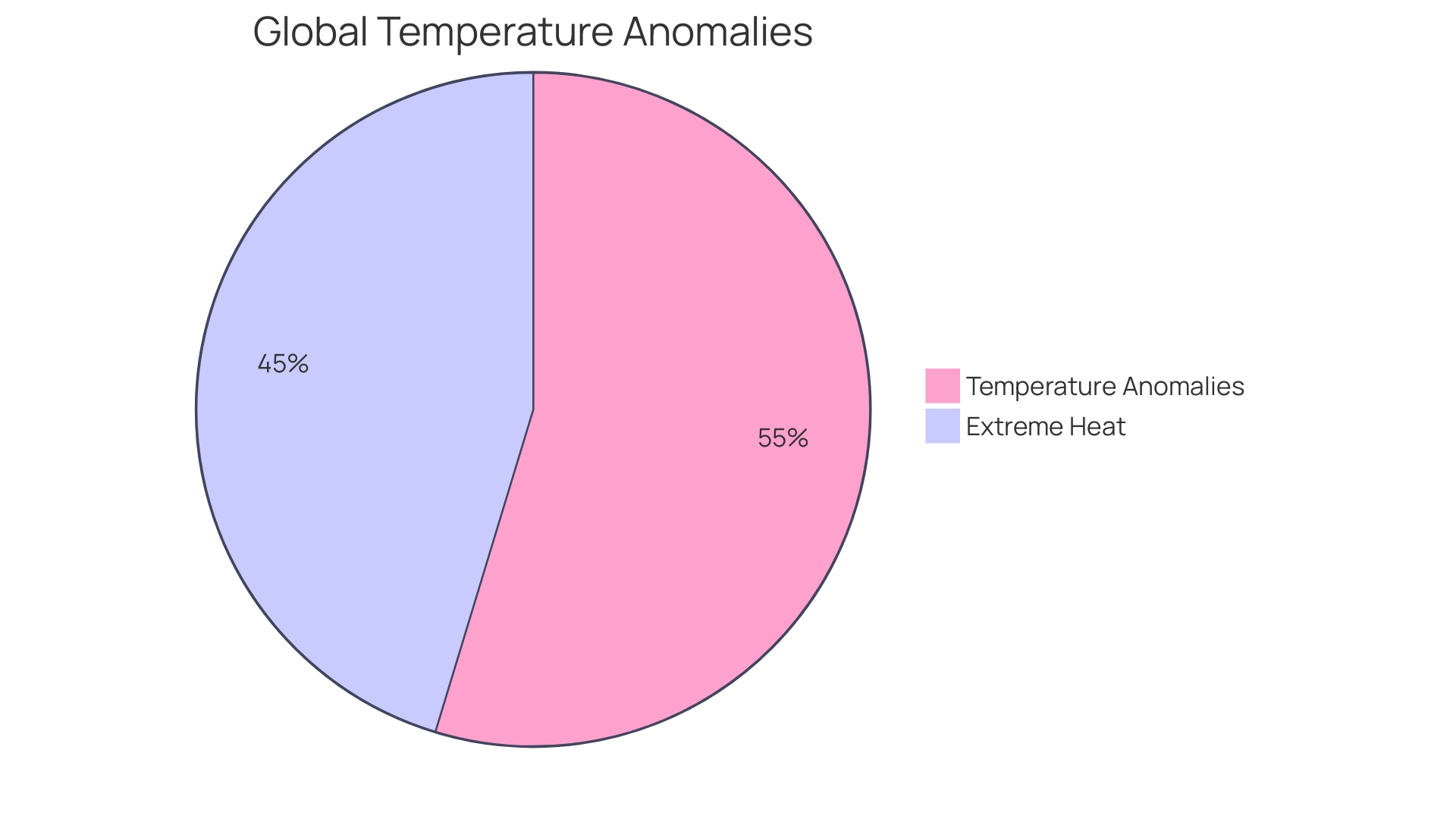
Understanding the intricate dance between latitude, longitude, and their effects on our daily weather and the broader climate is essential. While weather represents the short-term atmospheric conditions—like whether you'll need an umbrella today or if a cold front is moving in—climate is the long-term average of these patterns, observed over decades. It's the difference between today's forecast and the expectations for a season's temperature and precipitation levels. The recent streak of record-breaking temperatures in the second half of 2023, with over 200 days setting new highs, illustrates the dramatic interplay of natural phenomena like El Niño on top of ongoing human-driven climate change. Scientists are carefully monitoring these trends, looking at how shifts in ocean temperatures and wind patterns contribute to our understanding of climate variability. Moreover, the stark reality of climate impact is evident as studies suggest that a 2°C rise in global temperatures could expose billions to intolerable heat and humidity levels, particularly affecting regions such as Pakistan, India, eastern China, and sub-Saharan Africa. These findings underscore the importance of understanding how our planet's coordinates interact with the forces of nature to shape the environment we live in.

Conclusion
Geolocation technology has revolutionized how we navigate and connect with the world. Latitude and longitude play a crucial role in precise positioning, impacting navigation, medical device adoption, IoT integration, and our understanding of climate variability.
Latitude and longitude guide modern travelers and technology, replacing paper maps with real-time navigation apps. Technological advancements like inertial navigation systems and lidar measurements enhance geolocation accuracy.
The relationship between latitude, longitude, and weather patterns is vital. Weather represents short-term conditions, while climate reflects long-term averages. Monitoring shifts in ocean temperatures and wind patterns helps us understand climate variability.
In conclusion, latitude and longitude are the invisible threads that shape our daily navigation and connection to the world. They impact various aspects of our lives, from navigation to climate understanding. Embracing these coordinates connects us to a global network, making our world more accessible.
Geolocation technology, driven by latitude and longitude, continues to evolve and solidify its importance in our interconnected world.


